
Morris County Neighbor Records by Block
For a block-level question, use sources that describe property geography and public civic structure. Morris GIS public apps and the Tax Board can help locate a parcel, preserve the municipality, and retrieve block, lot, qualifier, and tax-year context. The County Clerk then supplies recorded-instrument leads. These sources are strongest for parcel and ownership history. They do not create a public roster of every person at nearby addresses.
| Source | What It Shows About a Block | Access |
|---|---|---|
| Morris GIS parcel layer | Parcel geometry, identifiers, map context, and nearby parcel relationships | Public app and ArcGIS service; planning representation only |
| Morris County Tax Board | Tax year, district, owner, situs street, block, lot, qualifier, and prior parcel fields | Online Tax Search with mode-specific required fields |
| County Clerk index and Vault | Recorded party roles, instrument dates, legal descriptions, maps, and older record leads | Online index generally from 1960; older material through the Vault |
| New Jersey voter sources | Individual registration status or regulated statutory-file formats | State lookup and County election-office request route |
| Public civic organizations | Organization and coordinator contacts serving a municipality or area | County alliances, nonprofit list, Chamber, and municipal boards |
| Historic directories and maps | Period-specific street context, address associations, and built-environment clues | Library, archival, and map collections |
Read owner and occupant evidence separately. A tax record can tie a person to a parcel in a selected year. A deed identifies a recorded party and date. Neither result alone establishes a present household. When the municipality is unclear, resolve it before moving to a local court, registrar, or municipal office because postal labels and legal municipalities do not always match.
Define Morris County Neighbors by Parcel
A nearby parcel is a better starting definition than straight-line distance. Roads, streams, tax-lot lines, condominium parcels, and paper streets can change what appears adjacent on a map. The GIS service can provide parcel geometry and identifiers, but its published limitation says the geometry is not a survey or legal boundary. Recorded maps, deeds, and easements are the sources for a legal relationship between parcels.
The Morris GIS ParcelSearcher service describes the parcel layer and its query functions.
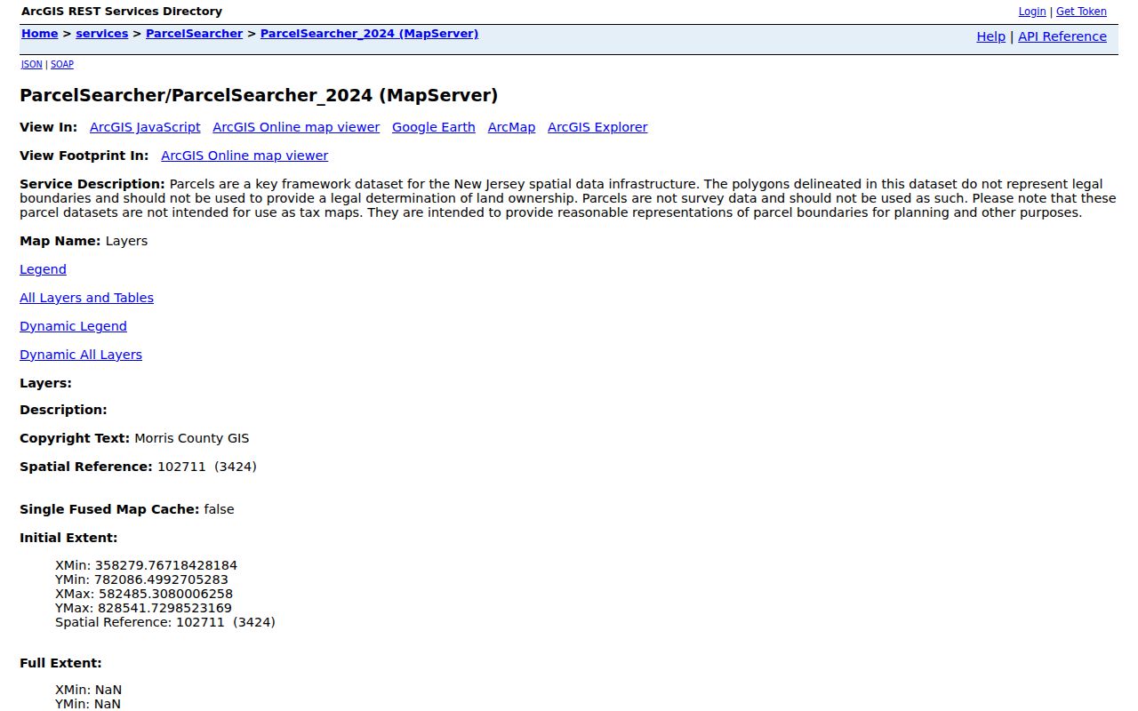
Use the service as a map and identifier lead, then cross-check its block, lot, qualifier, and municipality against the Tax Board and an official tax map. A line on a browser map can be useful for research, but it is not the final word on a boundary.
- Parcel
- A defined piece of property that is tracked in tax and map systems with local identifiers.
- Situs address
- The property location used in assessment context, which can differ from a mailing address.
- Qualifier
- An added parcel code used with a block and lot where a local assessment system needs more detail.
- Legal boundary
- A boundary established by controlling survey, recorded map, deed, or related legal record, not by a display layer alone.
Note: A map-adjacent parcel may be separated by a road, stream, or other feature that changes the practical relationship.
Compare Morris County Block Identifiers
The Morris County Tax Board search has separate property, owner, block, and prior-block modes. Property mode requires tax year, district, and street name, with house number optional. Owner mode requires tax year, district, and owner. Block mode requires tax year, district, block, and lot, while prior-block mode calls for prior block and lot. These required fields are why a countywide free-text name search is the wrong tool for a block question.
| Identifier | Why keep it with the result |
|---|---|
| Tax year and district | They define the selected assessment context and help distinguish similar addresses in different municipal systems. |
| Block, lot, and qualifier | They identify the tax parcel more precisely than a street label alone. |
| Prior block and lot | They can preserve the earlier parcel identity after a subdivision, merger, or renumbering. |
| Municipality and postal label | They prevent a postal community from being mistaken for the legal custodian or tax district. |
Prior-block searching is a useful Morris County detail when a current parcel seems to have appeared from nowhere. Compare more than one tax year, then use a recorded map, deed, or municipal record to test the change. The older identifier is a research lead, not proof that every modern map label describes the same property without further checking.
Map a Morris County Block
Move from one address outward in a controlled sequence. The safe documented GIS method is map browse and identify, followed by retrieving parcel identifiers and verifying them through Tax Board and Clerk records. The reviewed materials did not confirm a specific current buffer, radius, or one-click adjacent-parcel control, so do not rely on an unverified feature label. The process below keeps the record trail clear.
- Enter the address in the Morris GIS or Tax Board property route and record the tax year, municipality, district, block, lot, qualifier, and situs label.
- Browse or identify the immediately surrounding parcel shapes, saving their parcel identifiers rather than copying a map label as a personal fact.
- Run each identifier through the Tax Board and compare the dated owner or mailing field with the selected parcel.
- Use the County Clerk party or instrument index to check recorded transfers, maps, or easements when the legal relationship matters.
- For a full street-wide records chain, use the Morris County street directory route after the immediate block is resolved.
Keep a separate line for each parcel and each source date. That makes it clear whether the result is a tax association, a recorded party, a map relationship, or a historical directory reference. It also prevents a later change in ownership or parcel shape from being read back into an earlier record.
Note: The GIS layer is a planning representation, so a recorded map or deed is needed before making a legal-boundary conclusion.
Morris County Civic Networks, Not Private Rosters
No official countywide public directory of private homeowners associations, block associations, or neighborhood-group members was located in the reviewed sources. Morris County does publish useful civic-network alternatives. The County says 21 municipal alliances represent 26 municipalities, with public coordinators and organization contacts. County nonprofit listings, the Morris Chamber directory, and Morristown boards and commissions add public organization leads. They describe organizational geography and contacts, not evidence that a named household belongs to a group.
The Morris County municipal-alliance list provides the public civic-network route.
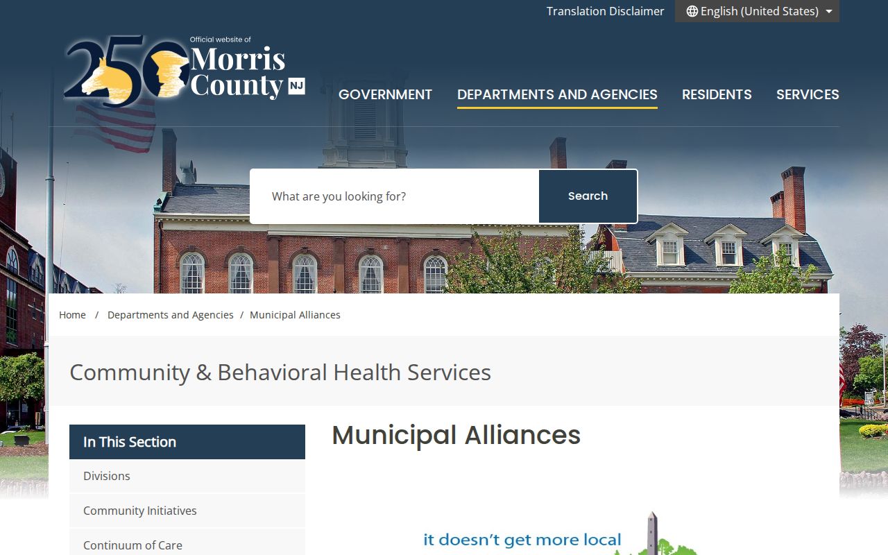
The alliance listing is useful for finding municipal program contacts in places such as Butler, Chatham, Chester, Denville, Dover and Victory Gardens, East Hanover, Jefferson, Kinnelon, Madison, Montville, Morris Plains, and Morristown or Morris Township. It is not a block-membership record.
| Public channel | What it can provide | Access route |
|---|---|---|
| Municipal alliances | County-listed alliance and coordinator contacts across participating municipalities | County alliance directory |
| County nonprofits | Public community-organization leads | County nonprofit listing |
| Morris Chamber | Organization profiles and public contacts by keyword, category, city, state, or county | Chamber public directory |
| Morristown boards | Public board and commission roles | Municipal board listings |
The Morris Chamber public directory has keyword, category, city, state or province, and county fields for organization searches.
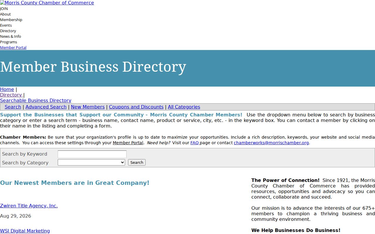
Use a Chamber result as a public organization contact or a clue to a civic role. It is not proof of a personal residence, private group membership, or a connection to every nearby parcel.
Morris County Neighbor Sources Compared
Official property and civic records have a stated custodian, date, and scope. Commercially compiled neighbor-lookup tools are a separate category that may combine public filings, marketing material, old addresses, phone data, and other purchased sources. Their results can be stale, merge people with the same name, retain removed information, or mix relatives. A result from either category needs a specific question and an independent confirmation.
| Source category | Useful evidence | Important limit |
|---|---|---|
| Official parcel and Clerk records | Dated tax context, parcel identifiers, recorded-party roles, legal-description leads | Owner and parcel data do not establish present occupancy |
| Official civic directories | Public organization and coordinator contacts | They are not private block or household rosters |
| Commercially compiled tools | A possible lead to check against the custodian | May be stale, merged, incomplete, or mislabeled |
| Library and archival collections | Dated directory, map, newspaper, and road-history context | Historical context is not a current-person conclusion |
Give more weight to a dated official record that answers the exact question. If an address must be corrected or a record is restricted, contact the office that holds it. Do not use copied data to contact, monitor, or pressure a person.
Monitor a Morris County Parcel Safely
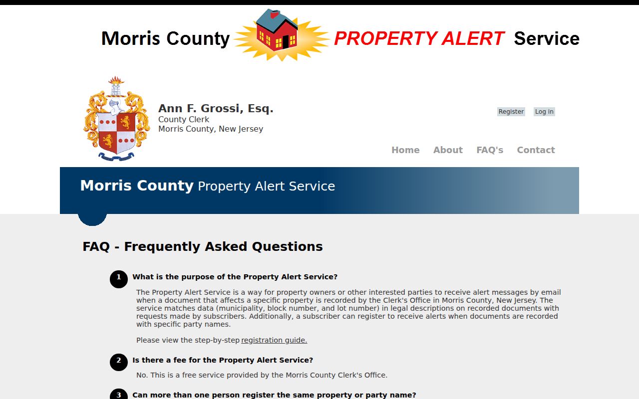
Property Alert is a County Clerk service for monitoring recordings connected to a party name or a municipality, block, and lot description. It can be useful for a parcel owner or someone monitoring a loved one's land. The service is voluntary and notification-only. It does not prevent recording fraud, replace a title review, or establish a neighbor relationship.
The Clerk's Property Alert information explains the registration and monitoring purpose.
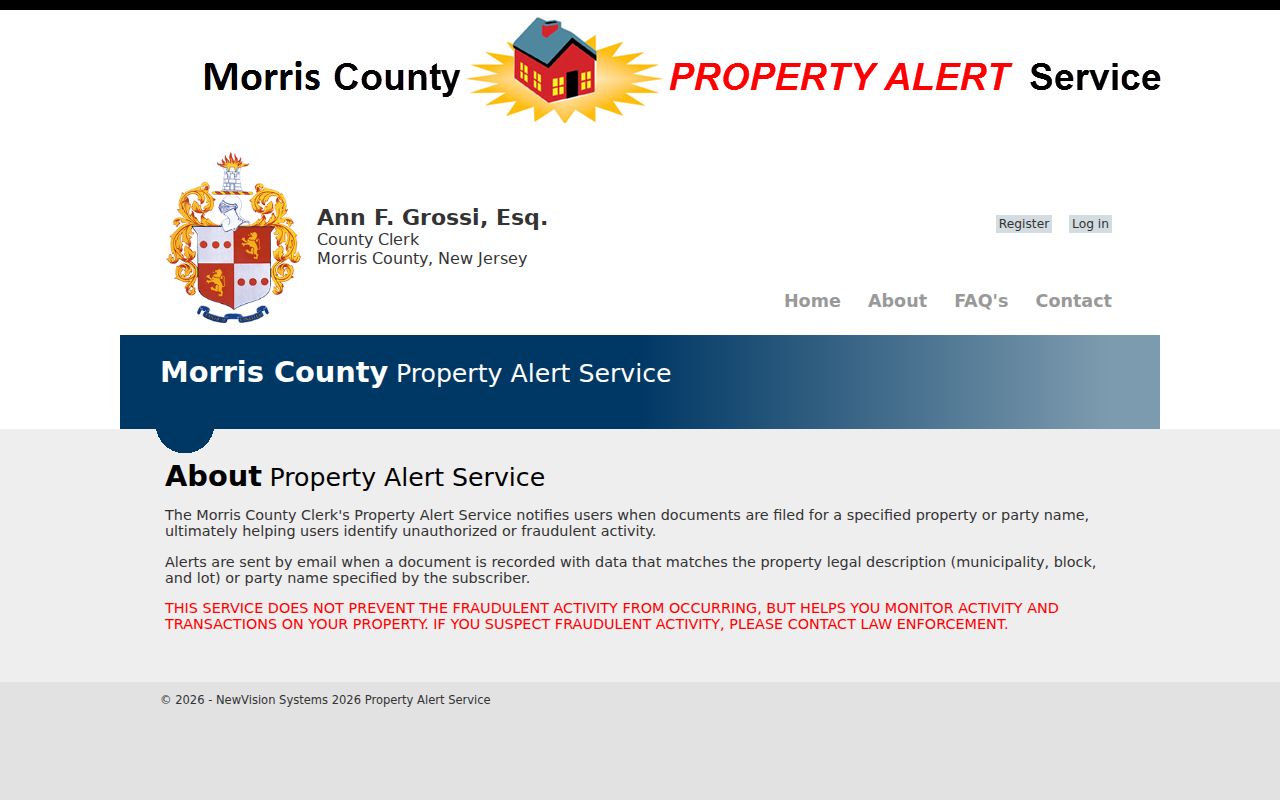
An alert is a prompt to review the County Clerk record and, where appropriate, report suspected fraud to the proper authority. It does not validate a document, stop a filing, or provide a substitute for a permitted records review.
The Clerk's Property Alert questions describe matching and service limitations.
Review the party or parcel information carefully before registering. If an alert concerns a protected address or someone else’s private information, do not republish it or use it to track that person.
Note: Property Alert may flag a recording for review, but the County Clerk says it is not fraud prevention.
Historic Morris County Neighbors
Historic sources can explain a block without making a present-day claim about people nearby. The 1909 Morristown Sanborn set has 44 sheets and reaches beyond central Morristown to Whippany, Morris Plains, and Mount Tabor. It can place a building footprint, street context, or stated use in 1909. Pair the sheet and date with deeds, maps, or directories rather than turning a building label into an occupant conclusion.
For an older road relationship, the Morris County Archives holds road returns from 1741 to 1915. These can identify owners along a route before modern street numbers. City-directory street indexes, surname pages, newspaper notices, and the 1909 map form separate historical evidence layers. Compare the exact year of each item, because an address association may lag a move or use an older street label.
The North Jersey History & Genealogy Center research sources add maps, local databases, newspapers, and finding aids. Library-only resources should remain labeled as such, and an onsite or appointment route may be necessary.
Morris County Neighbor Lookup Limits
New Jersey's Address Confidentiality Program gives eligible participants a substitute address and mail forwarding. Daniel's Law protections administered through the Office of Information Privacy cover specified judicial, law-enforcement, prosecutorial, and child-protection personnel and their households. Court, voter, vital, motor-vehicle, utility, adoption, sealed, and expunged records can also have distinct rules. A missing or redacted item is not permission to search around the restriction.
Use the appropriate custodian for a narrow public-record question. The Morris County OPRA route accepts requests through GovQA and published written channels for county administrative records, subject to its response, fee, and exemption rules. Municipal material belongs with the municipality that holds it. Do not infer private household membership from a parcel, voter, civic, or commercial record.
Lawful use. Neighbor research is for personal, lawful purposes and public civic understanding. Never use a record to stalk, harass, threaten, intimidate, or target anyone.