
Start a Morris County Street Directory Search
A street-by-street search works best as a sequence, not a roster. Morris County has 39 municipalities, and a postal city or ZIP can point to a different tax district. Start with the County Tax Board record for the address. Save the year, district, block, lot, qualifier, situs location, owner and mailing fields that the result supplies. Then use the map and the Clerk record to test whether the same parcel is involved. The order below keeps ownership, a recorded transfer, voter access, and older directory evidence in their proper roles.
- Enter the street in the Morris County Tax Board Search Tax Records property mode. Select a tax year and district, then use the required street name and an optional house number.
- Record the owner and parcel identifiers, then check the location in Morris GIS. A map view can help recover a municipality or an adjacent parcel, but it is not a legal survey.
- Use the owner name as a lead in the County Clerk party index. Look for the purchase deed and its book, page, instrument date, and legal description.
- For voter information, use the individual state status route for a person or ask the County election offices about the statutory street or walking-format voter-file request. The public route has restrictions and is not a household list.
- For an older address, consult street indexes and reverse directories at the local libraries. Compare more than one edition before connecting a name to a past household.
Save the spelling used by each source. Street, St, Road, Rd, Avenue, and Ave can affect a search, and initials or compound surnames can change a name result. A simple log with source, date, municipality, tax district, and the exact address text makes a later review possible.
Note: A parcel record is strong address evidence, but it is not a current occupancy finding.
Morris County Street Directory Tax Fields
The Tax Board is the address-first source when the owner is unknown. Its form is not a free-text countywide name search. Property mode requires a tax year, district, and street name, while the house number is optional. Owner mode requires the tax year, district, and owner. Block mode adds block and lot, and prior-block mode uses an earlier block and lot after a subdivision, merger, or parcel change. The required district is why the municipality should be resolved before a street search.
| Tax Board search | Required fields | Optional fields | Useful result |
|---|---|---|---|
| Property | Tax year, district, street name | House number | Address-based parcel lead |
| Owner | Tax year, district, owner | None stated | Owner-linked parcel lead |
| Block | Tax year, district, block, lot | Qualifier code | Current legal parcel identifiers |
| Prior Block | Tax year, district, prior block, prior lot | Prior qualifier code | Earlier parcel identity after a change |
The Tax Board property search is shown in the captured official screen below. It is a useful reminder that the year and district are part of the search, not details to add later.
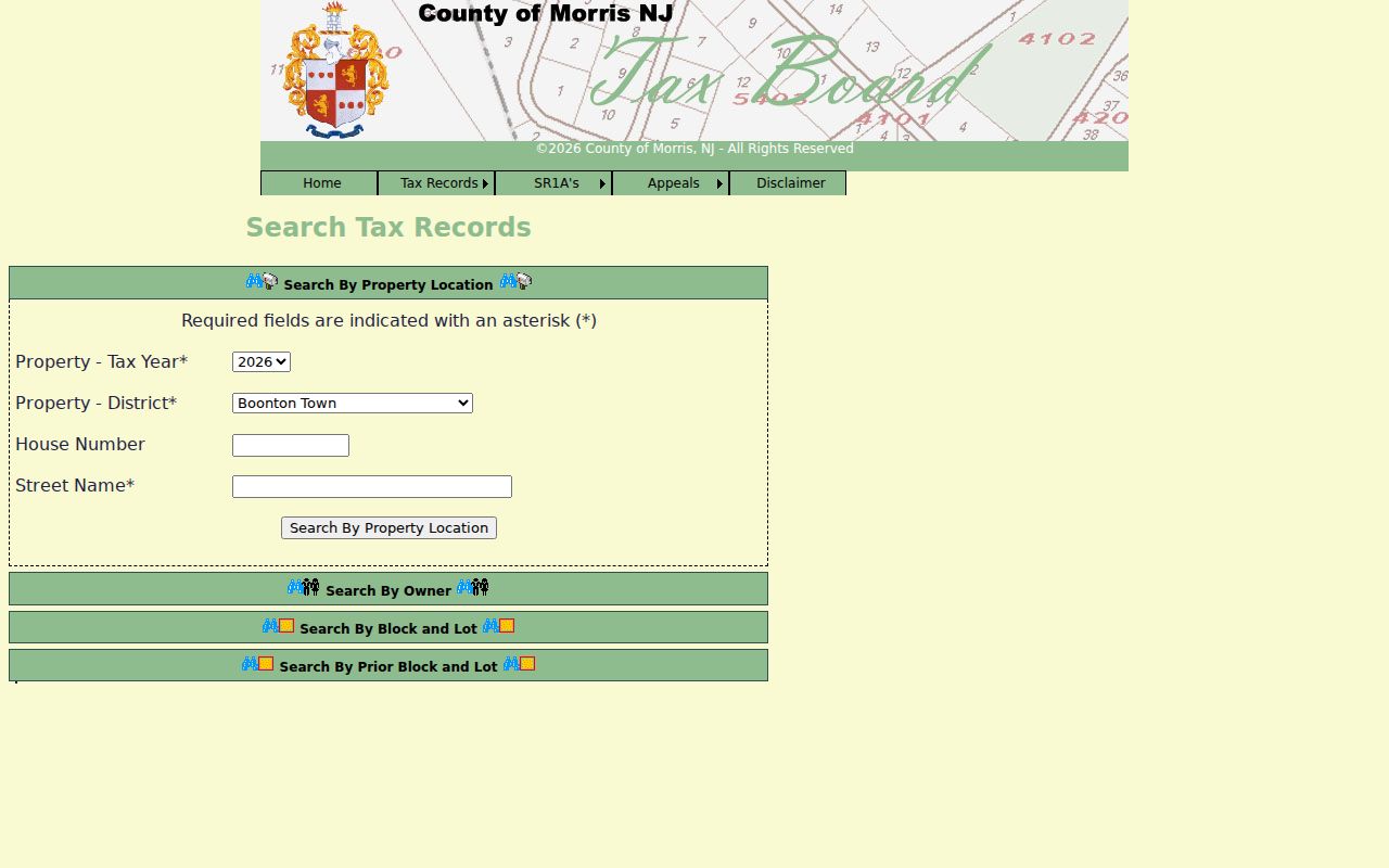
Once a result appears, preserve the selected year and district with the block and lot. A bare name or street line cannot be reproduced as reliably, especially when a road crosses a municipal edge.
Morris County Street Parcels in GIS
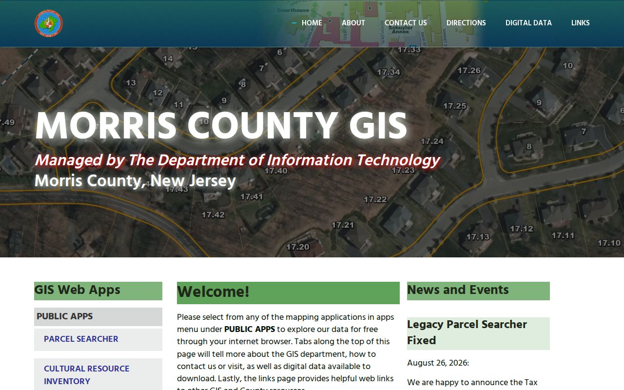
Morris GIS public apps offer Parcel Searcher, Tax Search Simple and Advanced, Tax Map Viewer, and a newer Tax Map Viewer. Use them to visualize the parcel returned by the Tax Board, check its map identifiers, and recover a municipality or block and lot for the next official search. The public ParcelSearcher service supports Identify, Find, Query, and Export Map operations, although a broad export can be incomplete because its stated maximum record count is 1,000.
The official GIS landing page in this Morris street-records image shows the available starting tools.
Parcel polygons are planning representations. A line on the screen is not a survey, legal boundary, or proof that two properties share the relationship suggested by a map click. Confirm the question with the official tax map, recorded map, deed, or easement when the exact boundary matters.
- Parcel
- A tax and mapping unit used to identify land for local assessment and record searches.
- Situs address
- The property location used in the tax record. It can differ from the mailing address for notices.
- Plat
- A recorded map that depicts lots, streets, or subdivisions and can help test how an earlier parcel was laid out.
- Legal description
- The recorded land identity, such as a lot and block, metes and bounds, map reference, or deed book and page.
- Criss-cross directory
- A reverse directory arranged by address so a researcher can look for the name associated with that address in a given edition.
Morris County Street Directory Record Layers
Each address-keyed record answers a narrower question. The tax roll can associate an owner with a parcel in a tax year. GIS supplies map context. The Clerk index can identify recorded parties and instruments. A municipal office may keep a permit or code record. Historical directories can associate a person or business with an address in the edition year. Read these sources together rather than treating one line as a complete street directory.
| Address record | Morris custodian | Street-level value | Access route |
|---|---|---|---|
| Tax assessment search | Board of Taxation and municipal assessor | Tax year, district, situs, owner, block, lot, qualifier | Online Tax Search; municipal assessor for a local correction |
| Parcel and tax map | Morris GIS | Geometry, identifiers, adjacent parcels, map context | Public app and ArcGIS service |
| Recorded instruments | County Clerk Registry and Records Vault | Grantor, grantee, date, book/page, legal description, maps | Online index from 1960; Vault for earlier records and copies |
| Municipal permit or code file | Relevant municipal office | Address-keyed project, inspection, zoning, or maintenance trail | Municipal portal when available or a focused OPRA request |
| Directories | Morris County Library and Morristown & Morris Township Library | Address-to-name and household or business clues by edition | Onsite print, microfilm, or database collection |
| Voter file | County Clerk and Board of Elections | Statutory street or walking-format information when properly requested | Individual lookup and statutory request route |
For a person-focused question, use the address result only as one anchor. The Morris resident lookup approach is built around verifying an individual with more than one independent record.
Morris County Street Changes and Prior Parcels
A current block and lot can hide an earlier parcel identity. The Tax Board prior-block mode is the local tool for a past block, lot, and optional qualifier. Use it after a subdivision, merger, or apparent numbering break. Compare tax years and then take the prior identifier to the Clerk, a recorded map, or the municipal tax office. That produces a documented chain instead of assuming that two similar address labels describe the same tract.
Morris postal geography makes the extra work worthwhile. The county manual treats ZIPs and post offices as postal context, not municipal proof. A Morris street may have a postal city different from the legal municipality that supplies the tax district. The USPS ZIP Code Lookup can validate current delivery, while the county tax district and municipality guide the property record search.
Note: Keep the postal city, legal municipality, tax district, source year, and historical place name as separate notes.
Morris County Street Deeds and Title Clues
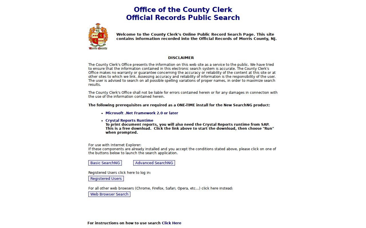
The County Clerk is the recording authority for deeds, mortgages, liens, maps, and related instruments. The Online Property Records Search states that online property records go back to 1960. When a property search produces the current owner, use Party Name and available instrument details to find a purchase deed. Search the named seller as a grantee to find that earlier acquisition, then repeat the sequence. Names can vary by spelling, initial, or legal capacity, so run both grantor and grantee directions where the interface permits.
The Clerk’s recorded-search landing page is the source linked with this Morris street-records capture.
A deed identifies a transfer of title. It does not establish that a party occupied the property on the recording date. Compare the instrument date, legal description, and tax year with an independent source before adding it to an address history.
Morris County Street Records Before 1960
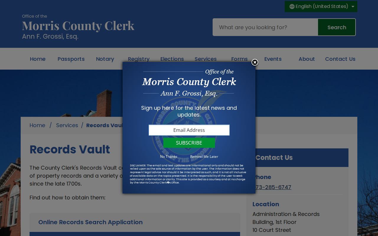
The online cutoff is not the beginning of Morris land records. The County Clerk Records Vault holds books, microfilm, and digital images reaching into the late 1700s. It is the next route when the online index ends or an older book and page is known. A mail-copy request needs a record description, the book and page if known, a return address, and payment as the Vault instructions direct. The research describes $1 per page plus $10 certification for a certified copy, $2 per page for a non-certified copy, and $1 postage without a self-addressed stamped envelope.
The official Records Vault page is shown in the image below before a Morris street-records search moves into older material.
Older research can also move to the Morris County Archives at the County Library. The published holdings include road returns from 1741 to 1915, building contracts from 1853 to 1972, mechanics' liens from 1851 to 1930, and estate records. Appointments are required, and pre-1800 Surrogate material is described as microfilm-only there.
Morris County Street Permit Routes
No single countywide live index covers every municipal permit or code file. For a Morristown address, start with the municipal code and building resources, then use a focused request when the desired record is not posted. A permit, inspection, zoning, or property-maintenance record can give a project date or named party, but it should not be converted into an occupancy claim. The correct office depends on the municipality, even when the postal city says Morristown.
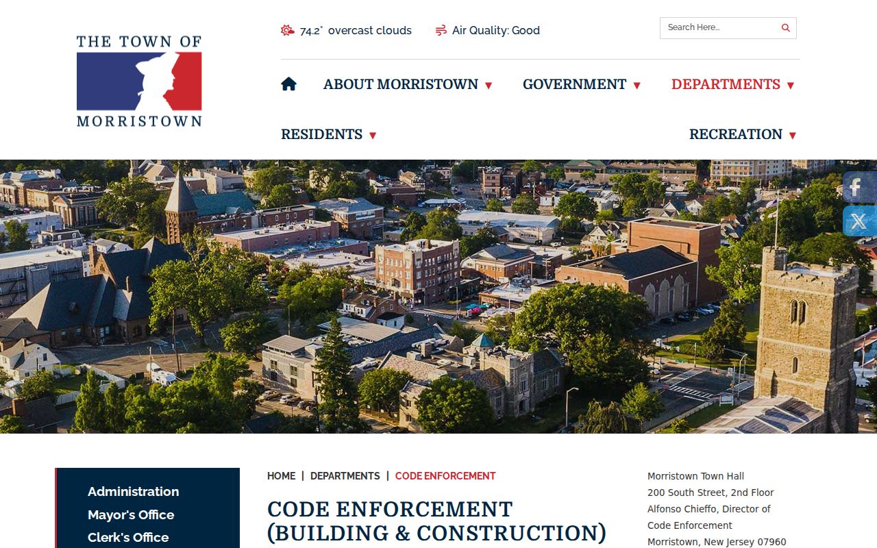
The Morristown code enforcement page provides the public municipal starting point shown here.
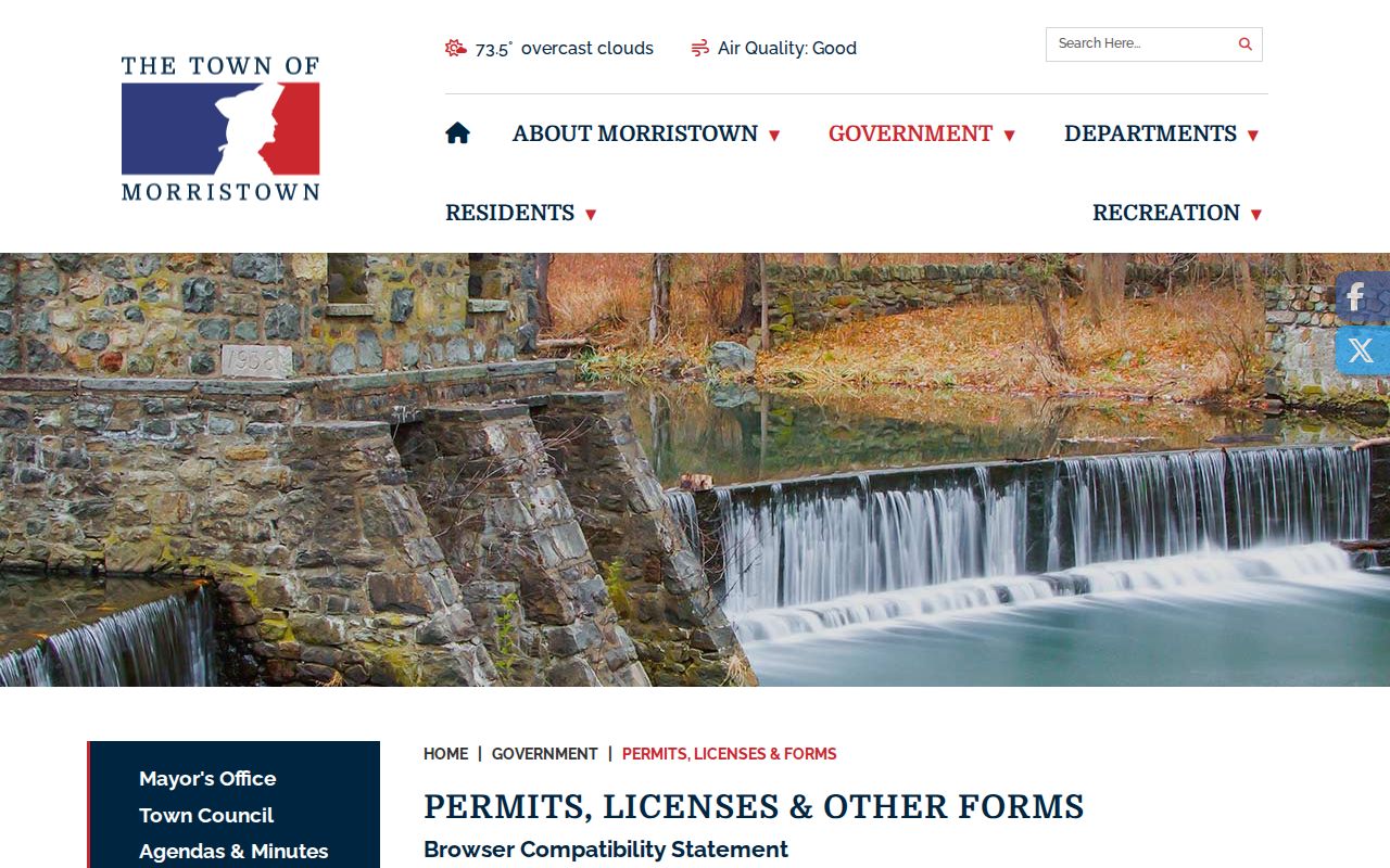
For forms and municipal routes, use the Morristown permit and forms index shown in this capture.
If the record is held by a county custodian instead, the Morris County OPRA request route offers GovQA and PDF, mail, fax, and email channels. Describe the record, address, municipality, and date range precisely.
Morris County Street Directory History
For prior households, use address evidence from the library rather than guessing from a deed. The North Jersey History & Genealogy Center reports Morristown directories from 1885 through 1982 and Morris County directories from 1897 through 1909. Search both the street index and surname pages. Record the title, publication year, page, address spelling, and any designation that distinguishes a household entry from a business listing. Then compare the prior and next available editions. The historical holdings themselves are detailed in the Morris city directories collection.
The 1909 Morristown Sanborn set adds a dated built-environment check. Its 44 sheets include Whippany, Morris Plains, and Mount Tabor. A sheet can establish a building footprint, use, addition, or street context in that year. It does not name an occupant, so pair it with a directory, deed, newspaper, or tax record before drawing a person-level conclusion.
Note: A directory issue date can lag its compilation, so treat it as a dated association rather than an exact move date.
Morris County Street Directory Privacy Limits
A Morris street directory cannot show every person associated with an address. Tax data distinguishes parcel, situs, and mailing information. A deed identifies parties to a recorded transfer. GIS displays mapping context. Voter information has a statutory access path and use restrictions. Utility customer information is not assumed public, and a map or postal match is never enough to infer a household. Stop when the requested detail belongs to a protected source or could expose a sensitive current location.
Lawful use. Use Morris address records for family history, property research, civic questions, and personal safety. Do not use any result to stalk, harass, intimidate, or harm a person.
New Jersey's Address Confidentiality Program uses a substitute address for eligible participants, and Daniel's Law protects certain covered people’s home addresses and unpublished telephone numbers. Do not try to reverse a substitute address or fill a gap in a protected record. For a county data request, use the custodian and the New Jersey Open Public Records Act route, not an inference from neighboring parcels.